
Fișier:Map India and Pakistan 1-250,000 Tile NF 45-11, Contai.jpg

Mărimea acestei previzualizări: 795 × 599 pixeli. Alte rezoluții: 318 × 240 pixeli | 637 × 480 pixeli | 1.019 × 768 pixeli | 1.280 × 965 pixeli | 2.560 × 1.930 pixeli | 5.000 × 3.770 pixeli.
Mărește rezoluția imaginii (5.000 × 3.770 pixeli, mărime fișier: 1,32 MB, tip MIME: image/jpeg)
| Acest fișier se află la Wikimedia Commons. Consultați pagina sa descriptivă acolo. |
Descriere fișier
| Descriere |
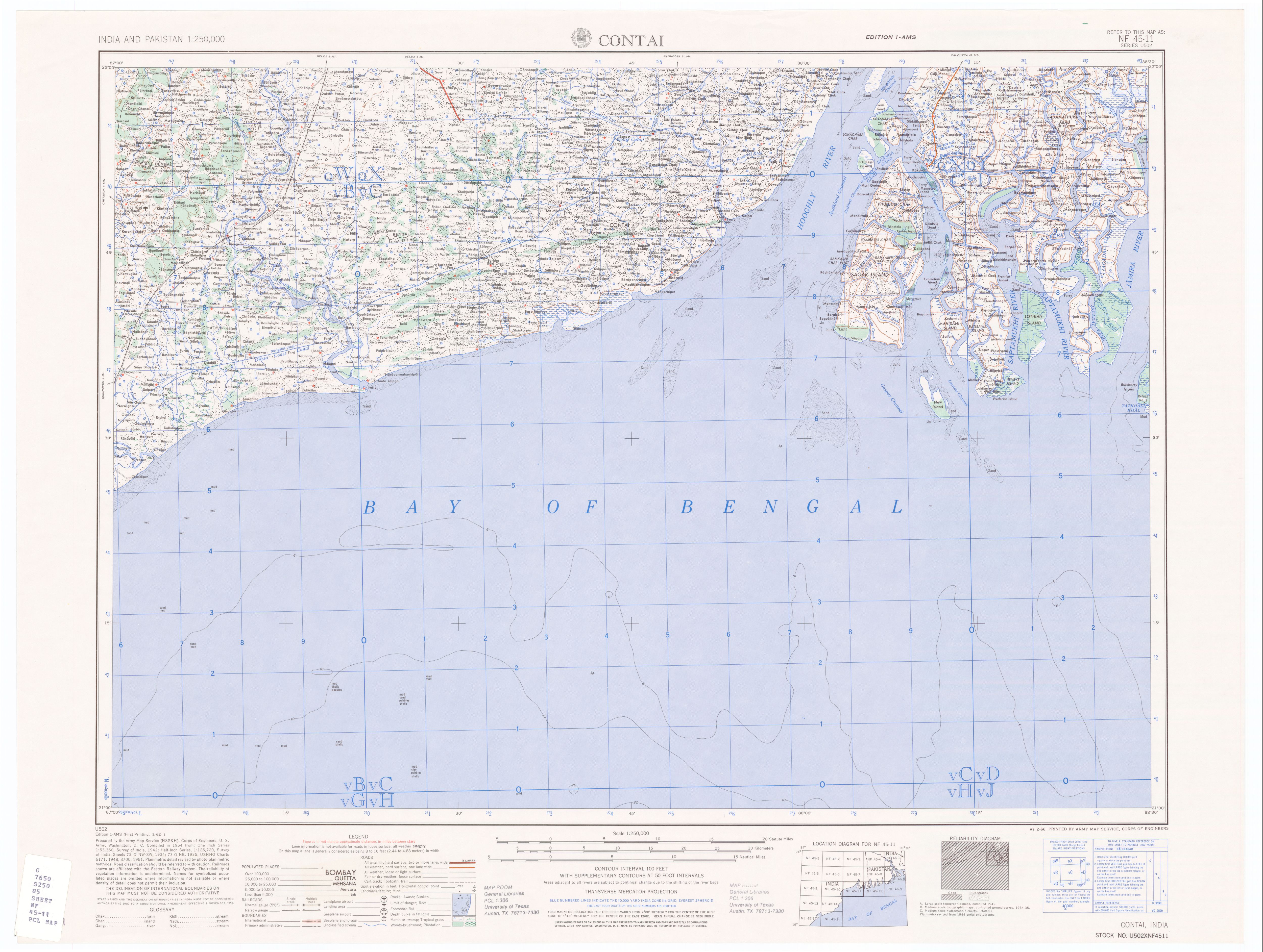
50% quality copy of Contai, India map by U.S. Army Map Service. Compiled in 1954. |
|||||||||
| Sursă | http://www.lib.utexas.edu/maps/ams/india/nf-45-11.jpg linked from http://www.lib.utexas.edu/maps/ams/india/ | |||||||||
| Creator |
U.S. Army Map Service, Corps of Engineers |
|||||||||
| Permisiune (Reutilizarea acestui fișier) |
PD U.S. Government work. "Courtesy of the University of Texas Libraries, The University of Texas at Austin." | |||||||||
| Geotemporal data | ||||||||||
| Bounding box |
|
|||||||||
| Georeferencing | ||||||||||
| Alte versiuni |
Creații derivate din acest fișier: |
|||||||||
Licențiere
This work is in the public domain in the United States because it is a work prepared by an officer or employee of the United States Government as part of that person’s official duties under the terms of Title 17, Chapter 1, Section 105 of the US Code.
Note: This only applies to original works of the Federal Government and not to the work of any individual U.S. state, territory, commonwealth, county, municipality, or any other subdivision. This template also does not apply to postage stamp designs published by the United States Postal Service since 1978. (See § 313.6(C)(1) of Compendium of U.S. Copyright Office Practices). It also does not apply to certain US coins; see The US Mint Terms of Use.
|
 | |
| Acest fișier a fost identificat ca fiind liber de orice restricții cunoscute privind legea drepturilor de autor, inclusiv toate drepturile conexe sau înrudite. | ||
Istoricul fișierului
Apăsați pe Data și ora pentru a vedea versiunea trimisă atunci.
| Data și ora | Miniatură | Dimensiuni | Utilizator | Comentariu | |
|---|---|---|---|---|---|
| actuală | 10 ianuarie 2007 10:44 | | 5.000x3.770 (1,32 MB) | SEWilco | {{Information |Description=50% quality copy of Contai, India map by U.S. Army Map Service. Compiled in 1954. |Source=http://www.lib.utexas.edu/maps/ams/india/nf-45-11.jpg linked from http://www.lib.utexas.edu/maps/ams/india/ |Date= |Author=U.S. Army Map |
Utilizarea fișierului
Nicio pagină nu se leagă la această imagine.